Southern Estuary
Bahía Blanca, Argentina
Situated in the southern area of the Bahía Blanca Estuary, this coastal land for sale represents a forward-looking territorial planning initiative with high ecological and strategic value. Its scale and location position it as a key space for the implementation of sustainable development policies, integrating science, industry, and community under a long-term vision.
A Gateway to
Sustainable
Coastal Development
244 ha
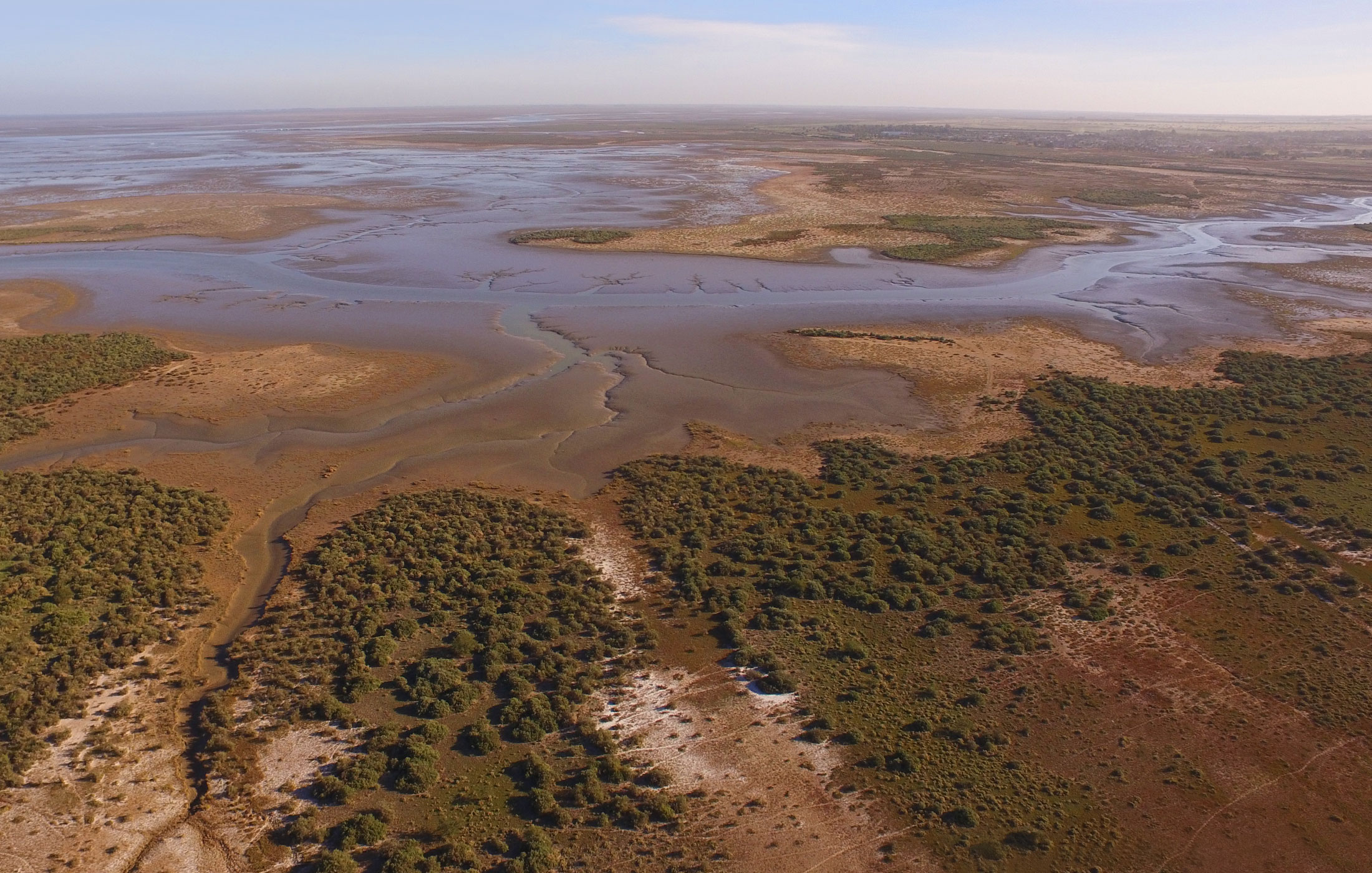
Located just 10 km from the city center of Bahía Blanca, this coastal property sits at the mouth of the Saladillo Stream, where the city embraces its true maritime identity.
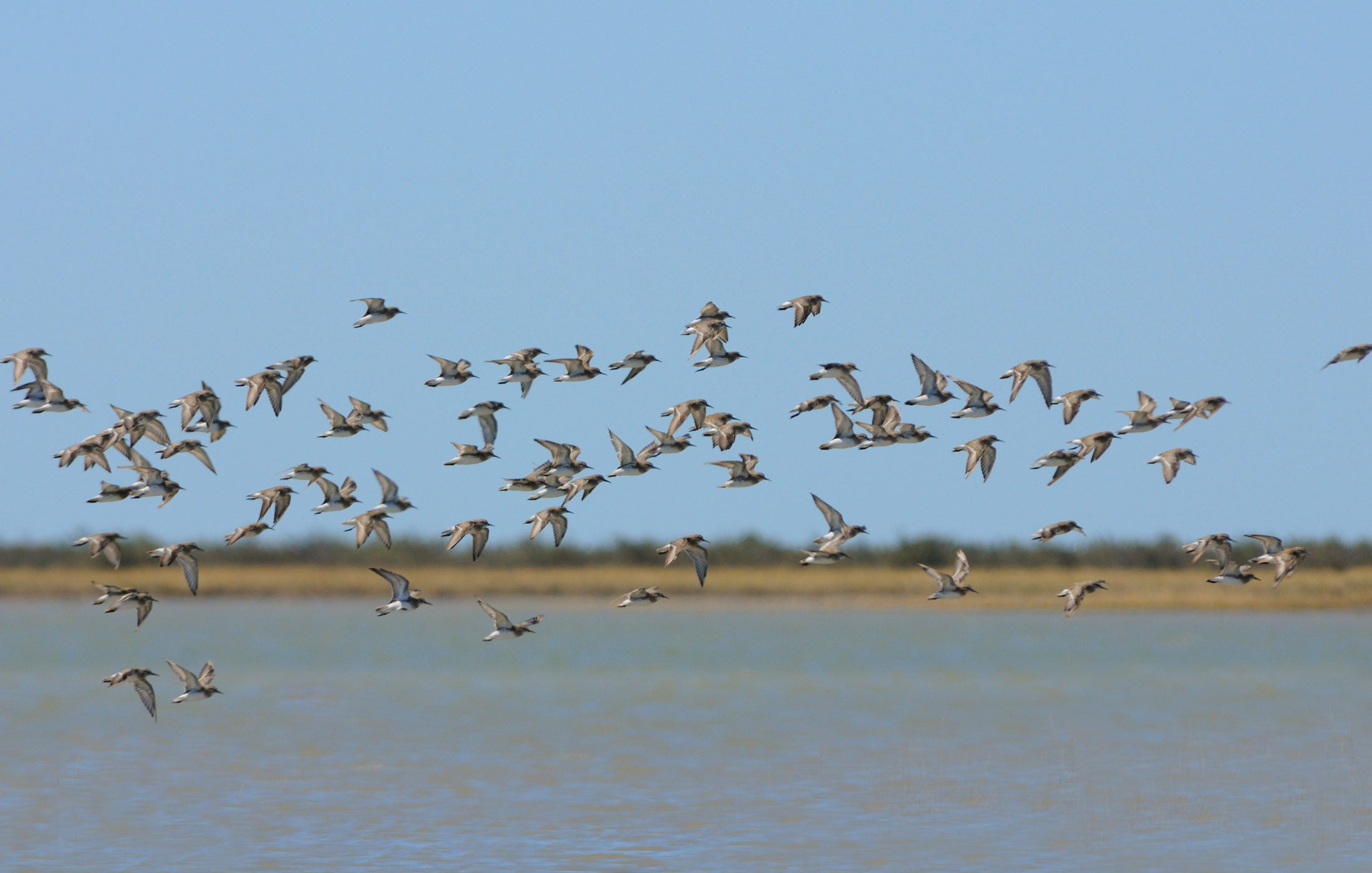
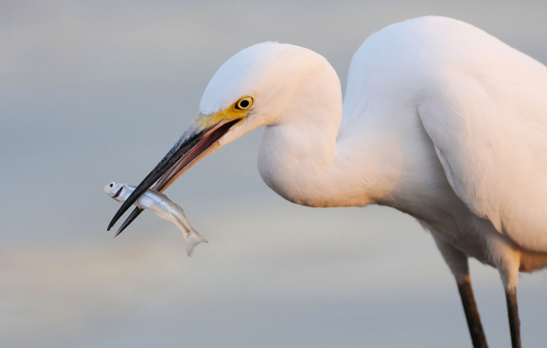
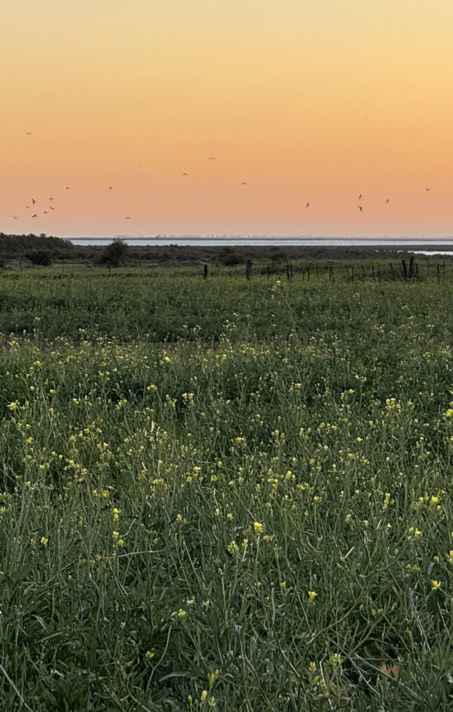
Here, the coastline remains untouched, marking the beginning of the Southwestern Estuary of Bahía Blanca, a unique natural environment of high ecological value.
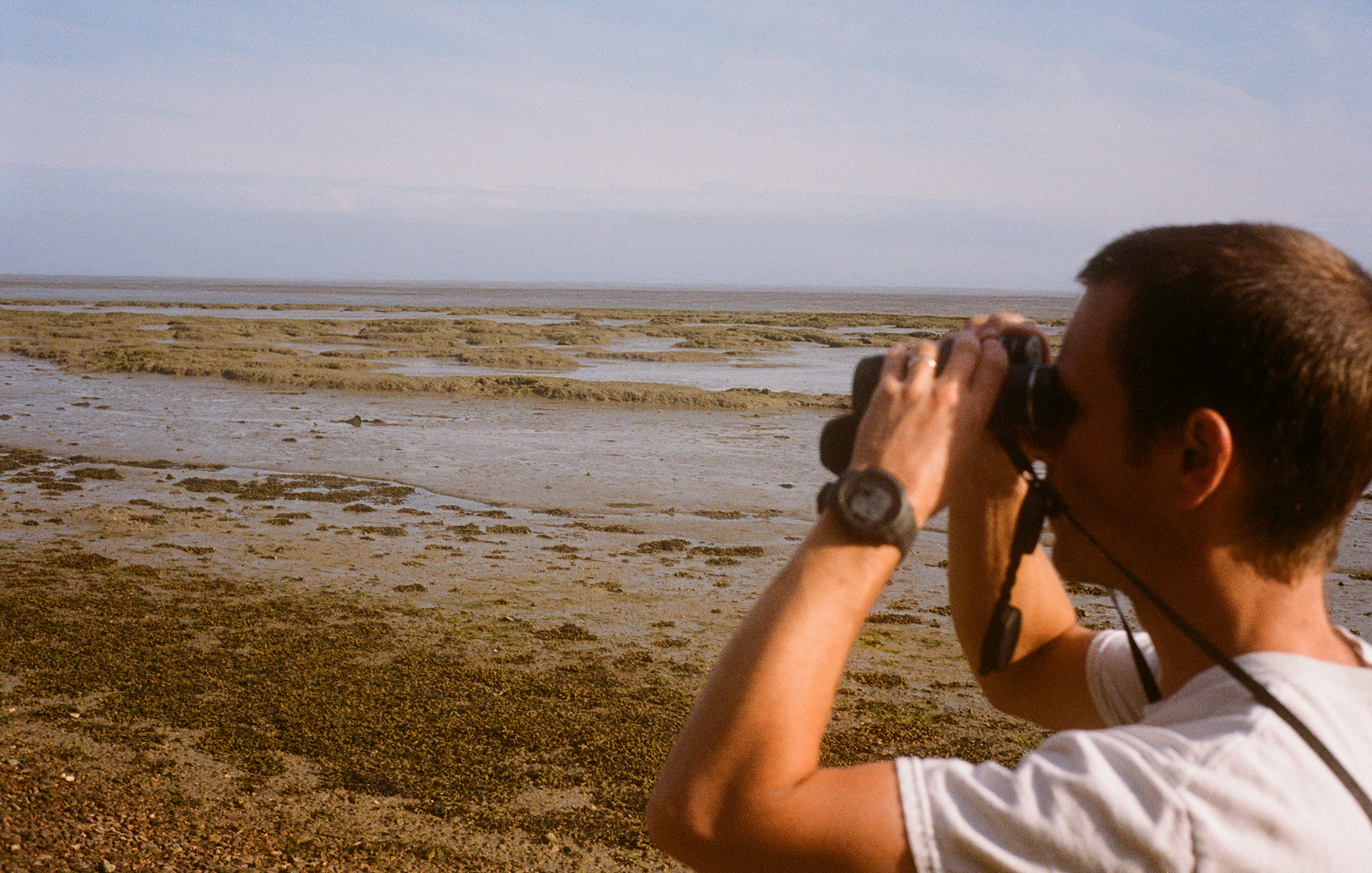
Unlike other industrial coastal zones, this land has been safeguarded over time, avoiding exploitation and preserving its pristine character. Its location offers a rare opportunity to develop low-impact, high-value sustainable projects, from environmental education and eco-tourism to scientific research and natural reserve designation.
Strategically positioned between Bahía Blanca and Gral. Daniel Cerri, it stands as the closest and most valuable ecological capital to these urban centers, a rare coastal asset ready for a visionary investor committed to long-term environmental and economic returns.
A rare coastal asset ready for a visionary investor committed to long-term environmental and economic returns.
ZONE 1
Coastal
Land
179 ha
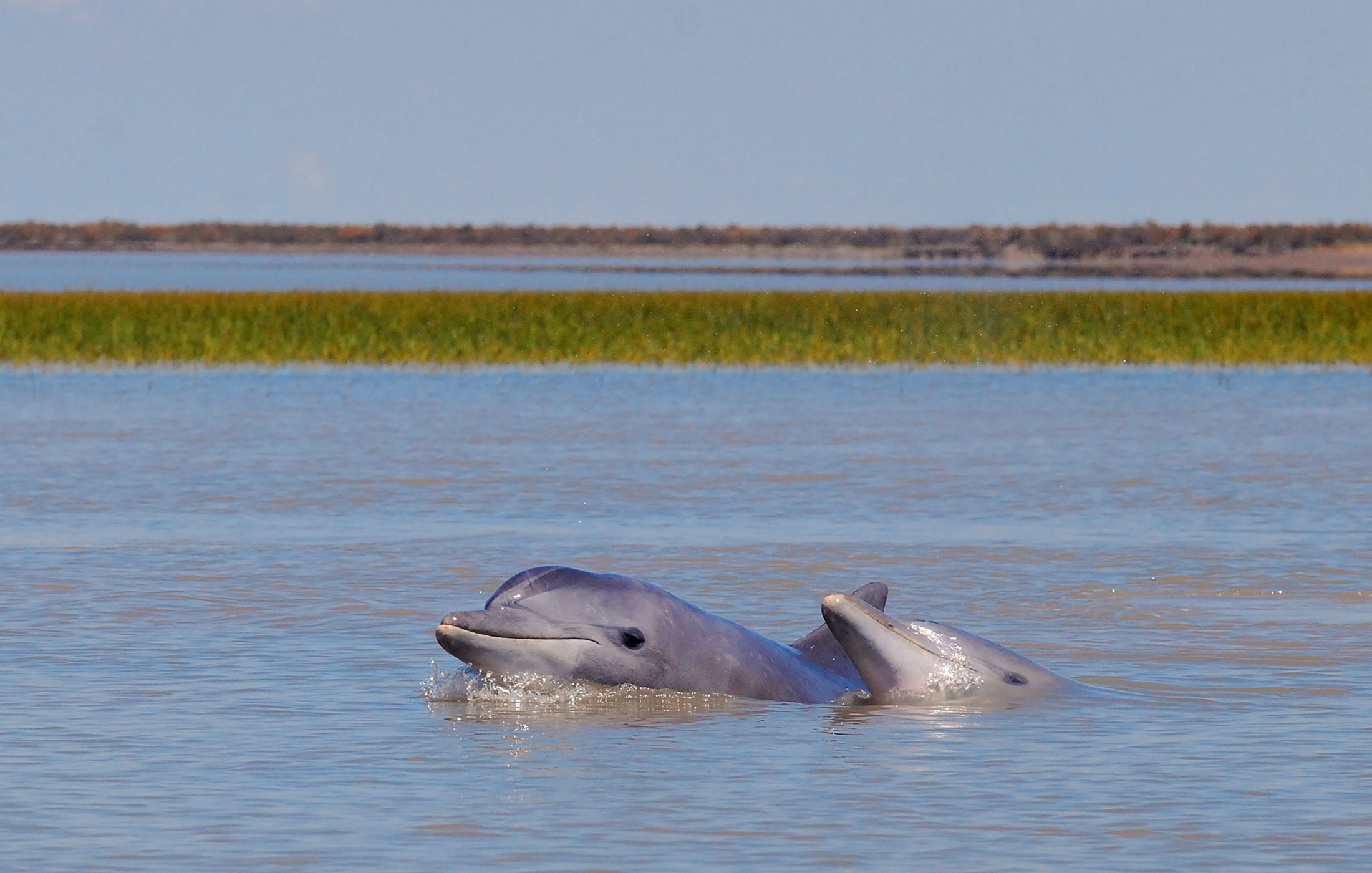
Coastal frontage with navigable access to the Bahía Blanca Estuary.
ZONE 2
Sand and Shell Deposit
56 ha
Sand and shell deposit with commercial value for construction and agriculture.
ZONE 3
Lots Facing National Route 3
9 ha
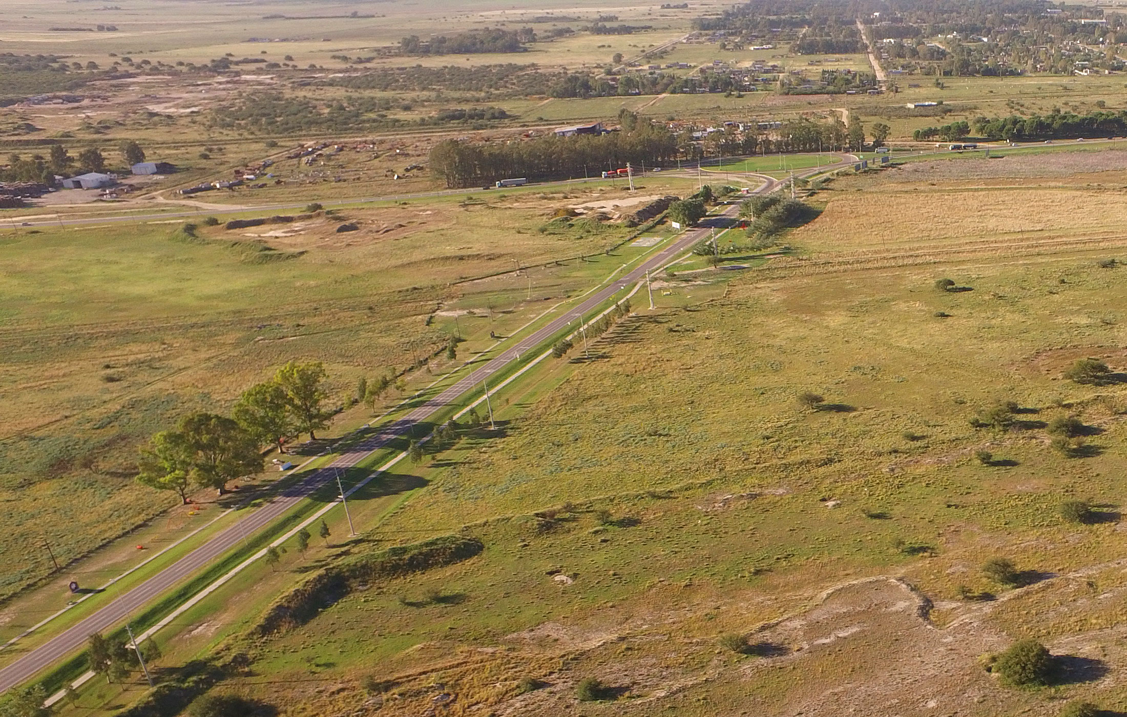
Nine lots of one hectare each, all with frontage on National Route 3.
ZONE 1
Coastal Land
179 ha
Coastal frontage with navigable access to the Bahía Blanca Estuary through the Saladillo de García Stream.
Features
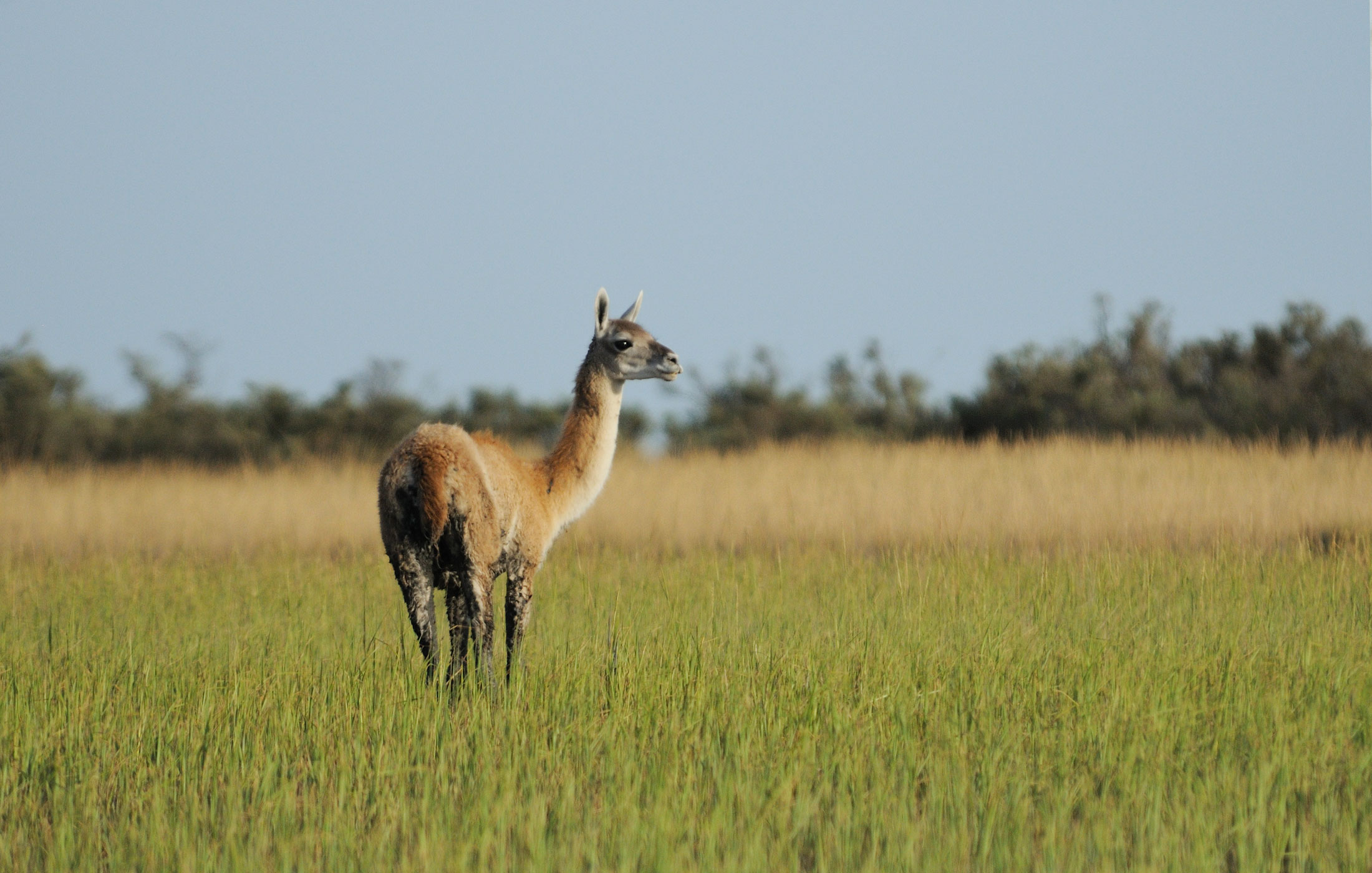
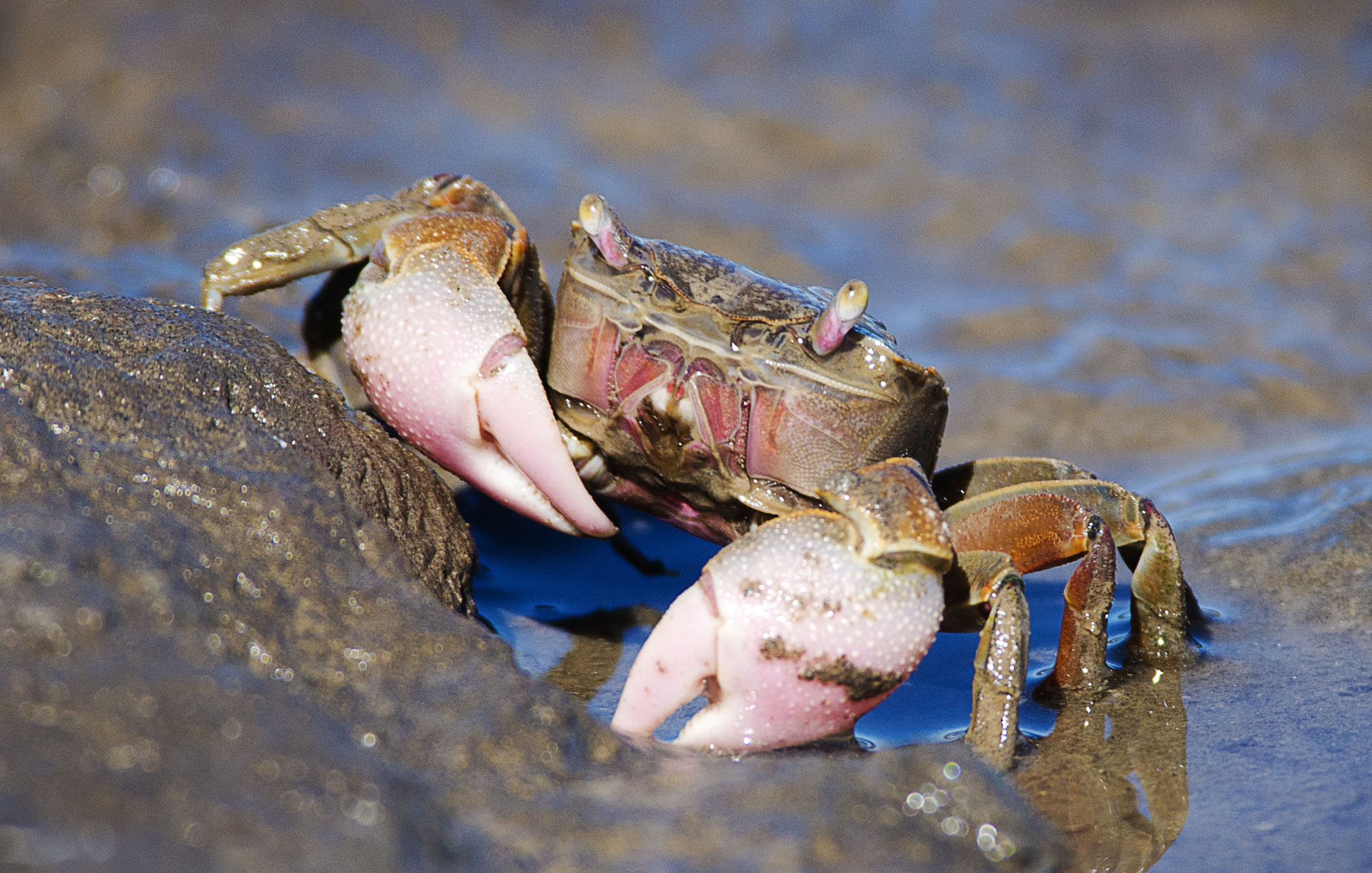
- Stepped topography with native vegetation, natural drainage, and panoramic views.
- Presence of freshwater, brackish, and hyperthermal groundwater.
- Low-pollution environment, fresh breezes, and mild temperate climate.
Potential uses
- Protected natural reserve or ecological park.
- Birdwatching station and environmental interpretation center.
- Eco-tourism and sustainable recreation: beach, marina, trails, non-motorized activities
- Scientific research center on biodiversity and coastal ecosystems.
- Low-impact urban development: park-style neighborhood with bioclimatic design.
- Sustainable aquaculture (freshwater and brackish water systems)
ZONE 2
Sand and Shell Deposit
56 ha
Features
Sand and shell deposit (estimated at 45,000 m³), with commercial value for construction and agriculture.
High-plasticity clays, suitable for ceramics and industrial applications.
Potential uses
Land suitable for creating lagoons, artificial wetlands, or filtration ponds using local materials.
ZONE 3
9 Lots Facing
National Route 3
9 ha
Features
This strip consists of nine lots of one hectare each, all with frontage on National Route 3. This highway is one of Argentina’s main road corridors, connecting Buenos Aires with Patagonia. In the case of Bahía Blanca, it serves as the city’s strategic southern access.
Potential uses
Technical feasibility for public services (drinking water, electricity, gas, and telecommunications).
Immediate surroundings include shops, restaurants, workshops, rural services, processing facilities, and institutions, giving the lots a privileged location.
Direct access to the airport, without the need to cross the urban center, positions these lots as a strategic hub that efficiently connects Bahía Blanca’s scientific, industrial, and port activities with the international sphere.